Philadelphia State Hospital

Aerial Photos

Home
The Story Part 1: 1906-1937
The Story Part 2: 1938-1959
The Story Part 3: 1960-1999
The Story Part 4: 2000-2006
Epilogue
Before and After Photos
Patient Necrology
Byberry Photo Collection (2003-2007)
Byberry Videos
Maps
The By-Line Newsletter
Documents
Official Blueprints and Floor Plans
Aerial Photos
Links
Contact

berry35website.jpg
Looking East from Carter road, circa 1925. The west campus nearing completion.

THE WEST & NORTH GROUPS:
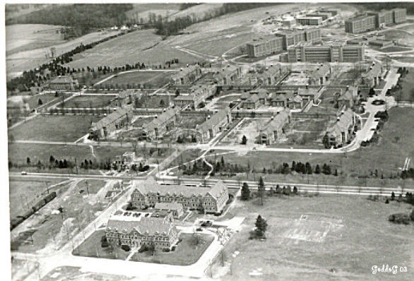
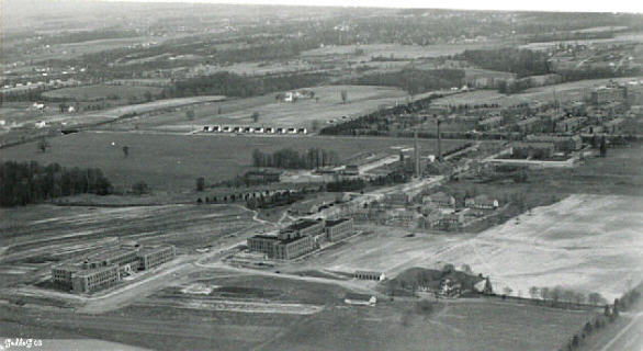
arial1.jpg
arial5.jpg

arial6.jpg

THE EAST GROUP:

arial2.jpg
arial3.jpg
arial7.jpg

arial4.jpg

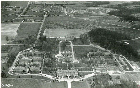
THE SOUTH GROUP & COTTAGES:

arial8.jpg

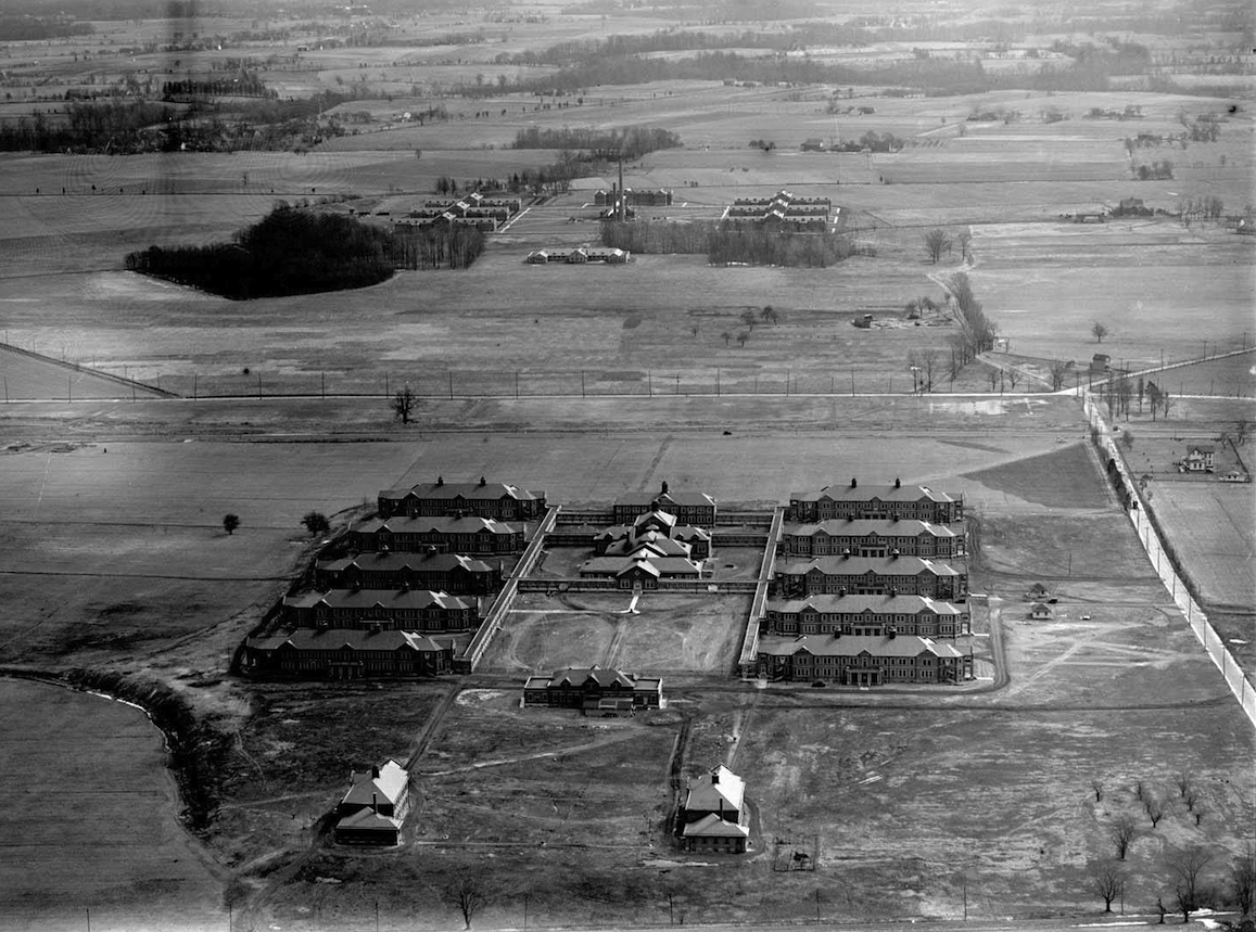
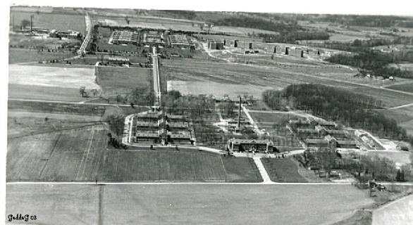
1938 Aerial Photo from USGS:

1938byberryphotosm.jpg

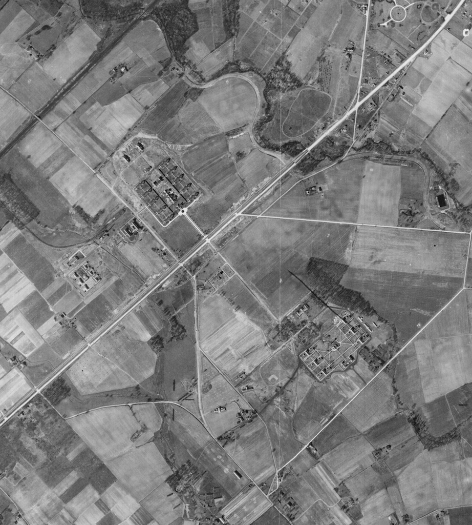
click here to download full size photo

Byberry circa 2005, photo by "Sonofgawddawg"

Photobucket Pictures, Images and Photos

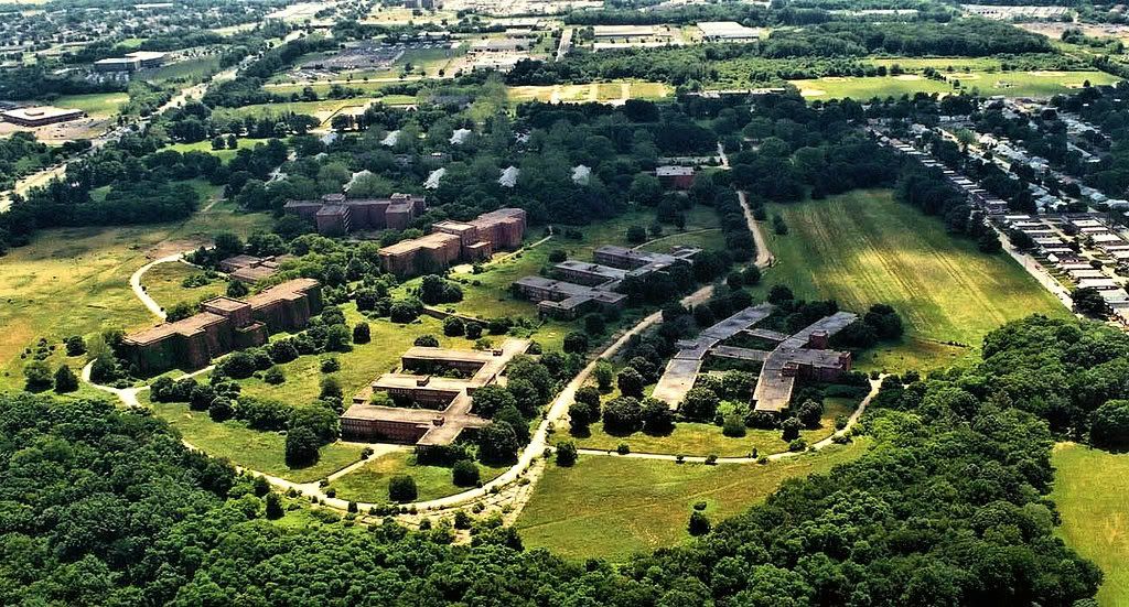
Byberry in 2010:
photos by GoddoG

ht183sm.jpg
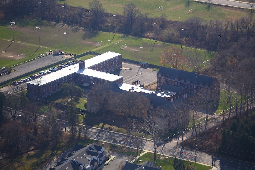
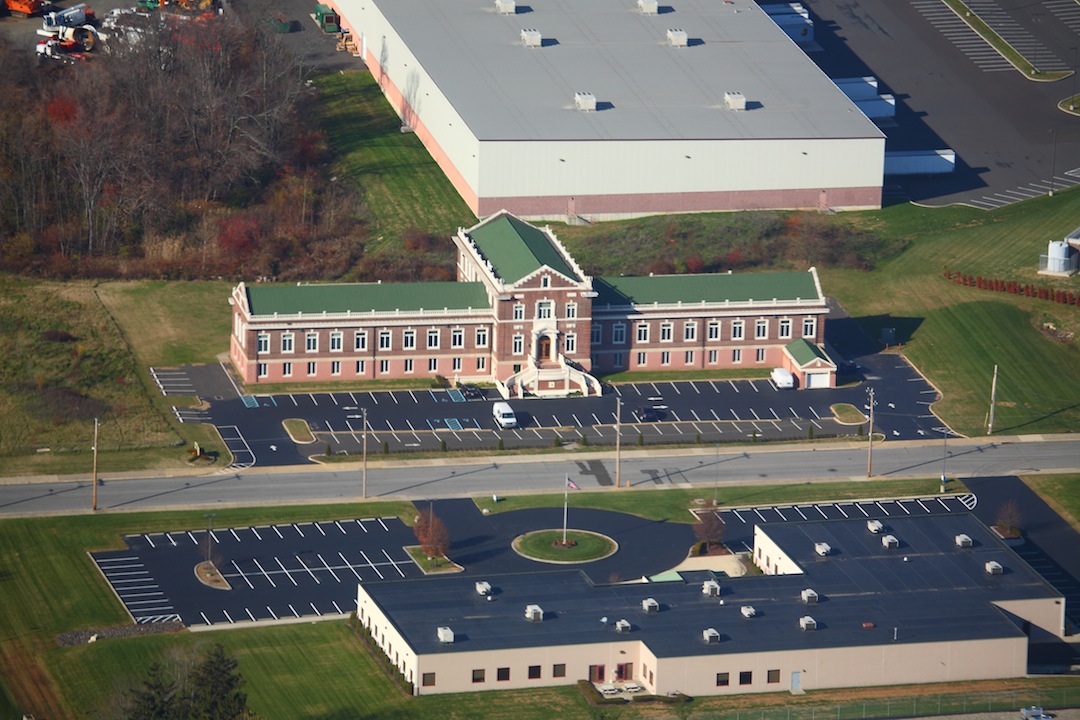
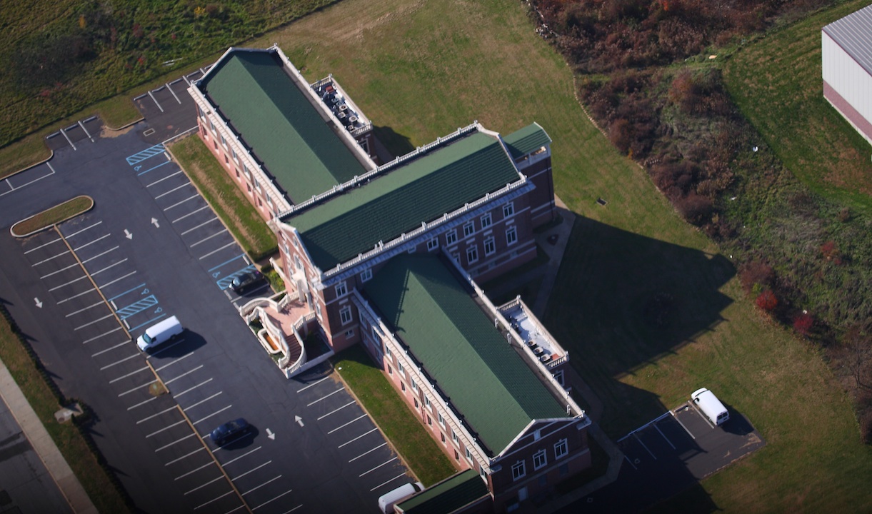
S-10 Building, Nurses Residence:

HT181sm.jpg
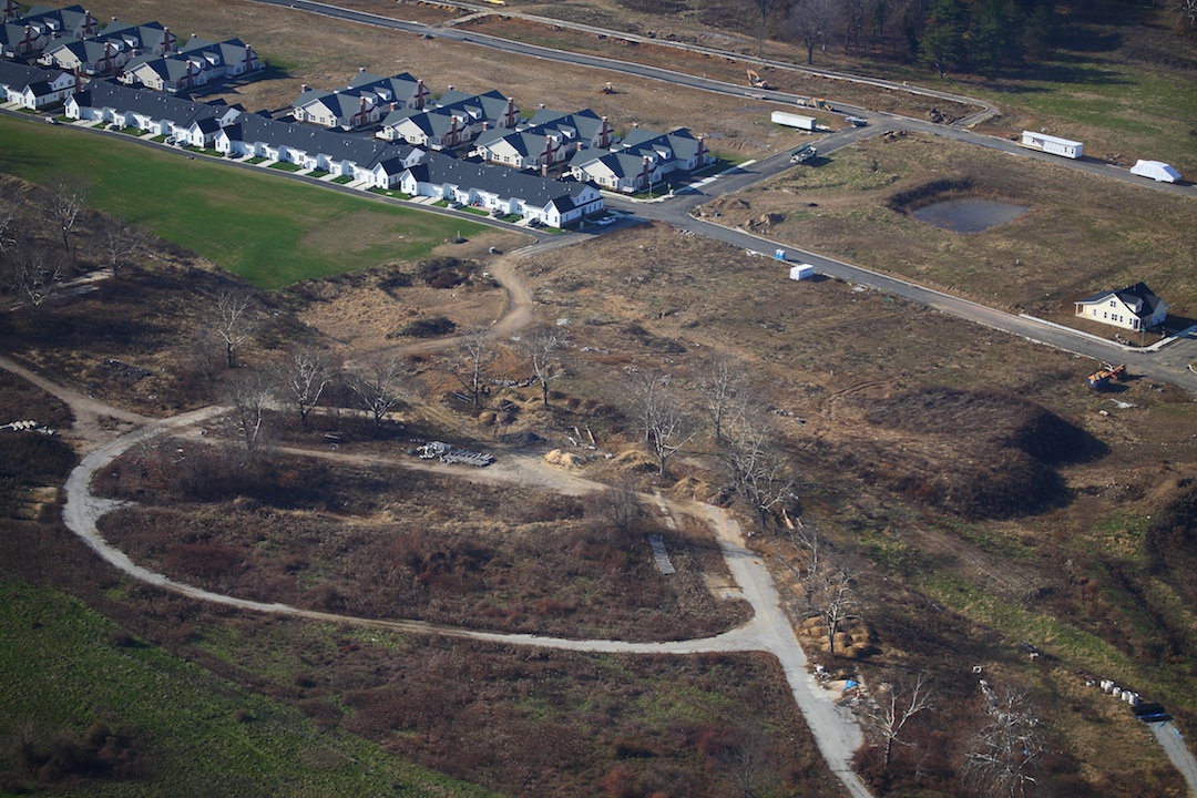
The old roadways in front of W-5, W-6, and W-7 with new housing cutting through the grounds.

ht182sm.jpg
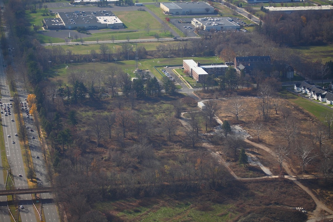
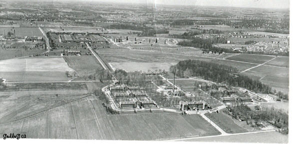
Looking south along the west side of Roosevelt Blvd. Visible are the roadways of the C Buildings.

ht177sm.jpg
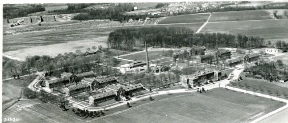
Building C Remodeled

HT178sm.jpg

HT179sm.jpg
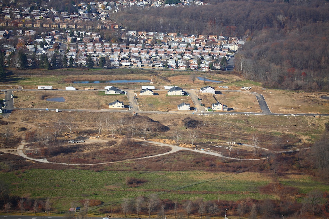
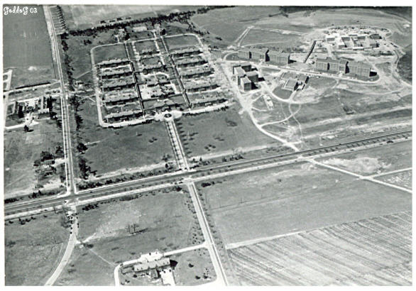
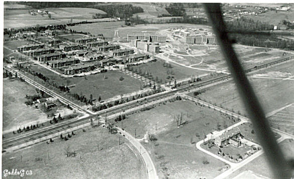
Modern Housing rises where the North Group once stood; Looking west.

Back to Top